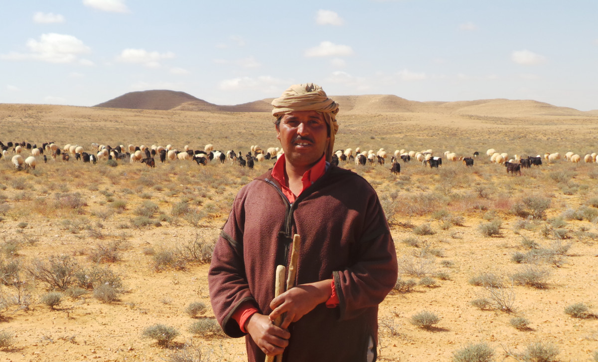
Over a third of Tunisia’s land surface is made up of natural rangelands, which support herds of both wild and domestic animals through their native grasses, forbs (herbaceous flowering plants) and shrubs.
But the majority (87%) of these rangelands are in arid and desert areas, and erratic fluctuations in rainfall supply mean there’s not always enough vegetation to sustain the animals – mostly sheep, goats and camels – that are raised there. Overgrazing in these environments can contribute to degradation and changes in botanical composition, which can lead ultimately to desertification – with major implications for climate change and the thousands of pastoralists who depend on livestock breeding for their livelihoods.
In that context, the International Centre for Agricultural Research in the Dry Areas (ICARDA) developed a new sustainable rangeland management (SRM) toolkit for sustainable rangeland restoration. This toolkit, which integrates indigenous knowledge and state-of-the-art science, is transforming rangeland restoration processes and influencing governance of these important landscapes. Of growing interest is the set of tools and protocols on rangeland inventorying, monitoring and assessment (RIMA), designed to guide more sustainable rangeland management. It’s proving highly effective and sought-after – both within and beyond the landscapes for which it was developed.
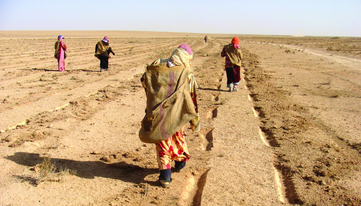
Since 1990, the Ministry of Agriculture in Tunisia launched a rangeland improvement strategy implemented by its development agencies, primarily through the Office of Livestock and Pasture (OEP), which has attempted to address rangeland degradation. Among the cost-effective interventions is the technique of Gdel, which consists of ‘resting’ pieces of land for a fixed period of time–normally 3 years–during which the land cannot be grazed by animals.
Each year, more than 3,000 hectares of private rangelands are rested in the country’s arid southern governorates of Tataouine, Kebili, Medenine, and Gabes and as part of the strategy, the pastoralists whose animals would normally graze in these areas are supported through the provision of feed supplements.

The implementation of the resting technique, however, has had its shortfalls. In 2018, rainfall levels in the region were unusually high, and vegetation growth “boomed,” said Mounir Louhaichi, a rangeland ecologist at ICARDA, which has been collaborating with OEP and the Arid Regions Institute (IRA) to research the impact of resting on restoration across the 2.5 million hectares of Tunisia’s southern rangelands since 2017.
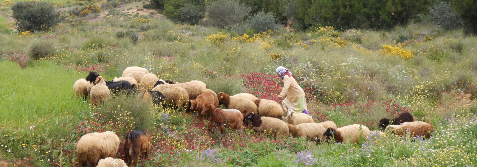
“We saw that many pastoralists were frustrated, because there was so much vegetation, yet they were not permitted to graze their animals because they had a contract saying they need to rest the land,” Louhaichi recounted. “It was a huge, missed opportunity–if you have biomass, you have hungry animals, you have to let them graze.”
Under such a scenario, explained Louhaichi, the solution would have been to allow the animals to graze the abundant forage using opportunistic grazing. ‘By default, when animals first enter a grazing site they focus on annuals,’ he said. ‘Because they keep moving, they don’t have time to pick and choose the most palatable species, which are the perennial vegetation that need to be restored in rested areas.’
At the time, though, there were no reliable indicators for vegetation cover in the region. “Decision-making should be built on scientific, simple and measurable considerations,” said Fethi Gouhis, Director of the Improvement of Forage and Pastoral Resources at OEP. “Until recently, this kind of evaluation was done based on visual estimates, which were rather unscientific – especially since the [agricultural] technicians often struggled to identify the pastoral species that were growing there.”
Jamel Kailene, Director of Sylvo-Pastoral Development at the Ministry of Agriculture’s General Directorate of Forests, agreed. “The traditional techniques, which relied on individual assessments using the naked eye, were very subjective and had a high margin of error,” he said.
The right tools for the job
From this experience emerged the SRM toolkit, which combines both science-based technologies and indigenous knowledge. The toolkit has high expectations of adoption thanks to the appreciation from local communities of the flexibility to adjust grazing strategies based on climatic conditions differing from year to year. For instance, instead of relying on arbitrary, visual estimation to grazable biomass, now the carrying capacity is based on four criteria that offer key indicators of rangeland health: 1) biomass availability, 2) percentage of desirable (edible for livestock) species, 3) vegetation cover, as well as 4) rainfall distribution and amount.
ICARDA is now in discussions with OEP to change the structure of its grazing contracts with pastoralists, “so that rather than strict, rigid rules about exclosure periods, there will be an amendment added whereby if particular vegetation cover criteria are met, pastoralists can graze the land,” said Louhaichi.
Conventional methods for rangeland inventorying, monitoring and assessment (RIMA) such as line transects and quadrat sampling are used to identify species, assess coverage and estimate biomass. On their own, however, such methods are relatively difficult, time-consuming and expensive, and have tended to result in overly detailed records for just a few locations.
So, the ICARDA team also developed an inexpensive digital vegetation charting technique, that uses remote sensing and digital image processing through the use of VegMeasure software to determine total vegetation cover – and that of each species – to a high degree of accuracy, with minimal field time and expenditure required. Each image is geo-tagged, providing the exactlocation of each species.
“This technique is non-destructive and highly objective, and this makes the information they yield very meaningful,” said Kailene. The software is also easy to use and can be downloaded for free on a smartphone or any device with a digital camera.
The team has created a series of manuals and trained up OEP staff on how to use the tools. According to Gouhis, one of the strengths of RIMA lies in its simplicity.

“The tools developed do not require a high academic level of training, and the indicators put in place are easy to use,” he said – although he noted that species recognition, or plant identification, required longer-term training and support for technicians to build up their familiarity.
“The tools and protocols are an innovation for all of us,” said Gouhis. “They will allow us to better manage the operation of the rangelands and ensure better governance of the areas being rested.”
Extending the range
Word has gotten out more widely about the SRM toolkit’s effectiveness, and a number of development agencies and researchers have reached out to ICARDA and sought to integrate key sections from the toolkit into their own operations. In response to this demand, ICARDA has been providing group training courses on RIMA, and has so far trained 99 people from 8 organisations.
The International Fund for Agricultural Development (IFAD) is currently using the RIMA procedure in a number of rangeland restoration projects in southern Tunisia. One such initiative, the Agropastoral Value Chains Project in the Governorate of Médenine (PRODEFIL), operates over 29,000 hectares, and aims to improve conditions for the sustainable management of pastoral resources amongst the vulnerable rural population that lives there. So far, close to 70% (19,000 hectares) of the targeted land has been placed under improved management.
The project makes use of the toolkit to determine which areas can be opened for grazing, how many animals they can support, and for how long. “The tools and protocols are necessary to ensure good governance of these rangelands,” said project leader Salma Jalouali. “They allow us to estimate the state of degradation of the rangelands; to measure their vegetation cover, biodiversity, regenerative capacity and resilience; and to take the necessary measures to open or close a grazing range: they really are critical for decision-making.”
She noted that the toolkit was more “laborious” to apply than traditional visual methods but did not present any particular difficulties – “although it does require good botanical knowledge,” she said.

At the Higher School of Agriculture of Mateur (ESAM), some lecturers are also training up their students in the use of the toolkit – particularly the application of RIMA and the VegMeasure software.
“In Tunisia, a lot of scientific research is carried out in the agro-sylvo-pastoral field, where estimations of the state of vegetation cover is essential, and based on various complex methods,” said Slim Slim, a senior lecturer in agricultural higher education at ESAM. “With the use of VegMeasure and photos taken in the field, we have a huge saving of time, precision and simplicity.”
He also added that, in the context of current pandemic-related lock-down measures in Tunisia where classes are being taught online, “the use of software, which can be downloaded from the internet, was very well received by the students – they saw this as a very interesting, practical and useful development.”
The Arid Regions Institute (IRA), a research centre based in Medenine, has also begun using VegMeasure in some of their work. “It facilitates field measurements by collecting and analysing large amounts of data in short periods of time; is easy-to-use, low-cost, avoids destructive analysis of rare and/or vulnerable vegetation, and helps us to estimate predict carbon sequestration levels in rangeland ecosystems,” said Mohamed Tarhouni, an ecologist at IRA. “In my opinion, this tool could be used in grasslands as well as arid and Saharan rangelands all around the world.” ICARDA researchers have already begun applying digital vegetation charting technique in other rangeland areas, such as in Pakistan, India, Jordan and Kazakhstan.
For Louhaichi, the positive feedback from pastoralists and field practitioners has been particularly heartening and speaks to the toolkit’s potential to help scale up rangeland restoration in a sustainable manner.
“Tunisia’s pastoralists have really been at the forefront of critiques of the current [rigid] resting strategy,” he said. “I am certain that if we make these changes to the national strategy, based on the information that the tools can provide, we will have many more people and communities getting involved in restoration than there are now.”
In short, the toolkit guides users to take wise decisions that are beneficial to humans, the land and animals.
--
Learn more
- Mounir Louhaichi, Mouldi Gamoun, Fethi Gouhis (2021). Benefits of Short-Duration, High-Stocking Rate Opportunistic Grazing on Arid Rangelands During Favorable Conditions. Frontiers in Ecology and Evolution 9:757-764. doi: 10.3389/fevo.2021.757764 https://www.frontiersin.org/articles/10.3389/fevo.2021.757764/abstract
- Mounir Louhaichi, Mouldi Gamoun, Farah Ben Salem, Azaiez Ouled Belgacem. (2021). Rangeland Biodiversity and Climate Variability: Supporting the Need for Flexible Grazing Management. Sustainability, 13 (13). https://hdl.handle.net/20.500.11766/13291
- Slim Slim, Mounir Louhaichi, Mouldi Gamoun, Serkan Ates, Sawsan Hassan, Oumeima Ben Romdhane, Azaiez Ouled Belgacem. (2021). Assessment of soil surface scarification and reseeding with sulla (Hedysarum coronarium L.) of degraded Mediterranean semi-arid rangelands. African Journal of Range and Forage Science. https://hdl.handle.net/20.500.11766/12618
- Mounir Louhaichi, Fethi Gouhis, Mouldi Gamoun. (2019). A flexible approach to the restoration of degraded rangelands. Policy Brief. https://hdl.handle.net/20.500.11766/10498
